In our ongoing Google Earth series the Borderscapes theme covers some fascinating interfaces between built-form and nature. The plan view images of earth, captured from space, are becoming increasing indicative of how human-made landscapes are integrating (or not integrating) with natural contexts. The images, while only a snapshot of each occurrence, also begin to convey whether the development strategies are mindful or viral.
Farms in the United Arab Emerites at 10.5 miles

Battleship Graveyard in Benicia, CA at 6,000 ft

Jetties in San Lucido, Italy at 3,500 ft

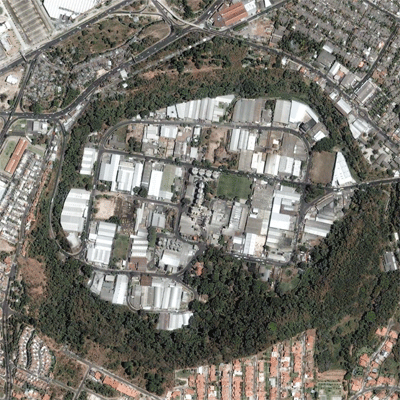
Crater in San Salvador, Paraguay at 2,000 ft

Central Park in Manhattan at 1,500 ft

Florida Keys at 1,500 ft

Suburb in Muscoy, CA at 1,500 ft

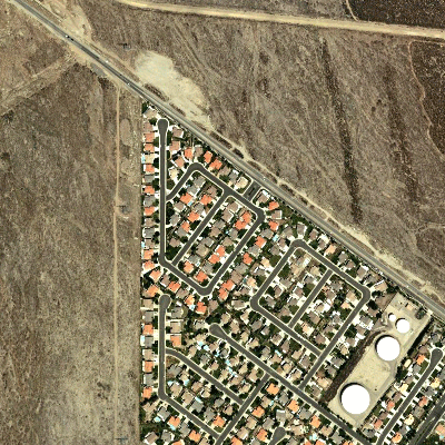
Suburb in Palm Springs, CA at 1,500 ft

Suburbs in Salt Lake City, UT at 1,500 ft

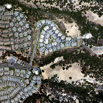
Suburb in San Jose, CA at 1,500 ft

Umm-Durrman, Sudan at 1,500 ft

Windfarm in Copenhagen, Denmark at 1,500 ft

Swimming pool in Colares, Portugal at 400 ft

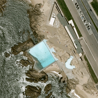
Leca swimming pools by Alvaro Siza in Portugal at 250 ft

Google Earth is now available for the iPhone – check it out here or app it on your iPhone.


