


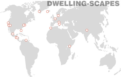
There are only 3 things in the world cooler than modern architecture: Legos, Steak Frites and Google Earth. We try and work Legos in wherever we can and this isn’t a food blog so that leaves us with Google Earth for today’s entry. We’ve rounded up a series of images on Google Earth displaying patterns of human habitation from around the globe – or Dwelling-Scapes if you’ll allow us to fabricate an architecty term. “But are the images all at the same scale so that we can compare and contrast?” – you ask. You bet they are, we didn’t buy Photoshop just to dinker around with finished photos of hot modern homes. Collecting images from Google-Earth can be overwhelming so we gave ourselves a few stipulations:
1. The images focus on practical, utilitarian forms of habitation (beat-it St. Peter’s Piazza)
2. The forms of habitation are in use today (86 Pompeii).
3. Each image is taken at an elevation of 2,500 feet above the Earth’s surface.
4. Each image is cropped to show a ½ mile x ½ mile swatch or 2,640 feet square (a 6.46 inch square crop in photo shop for the mathematically inclined).
Here’s what we came up with:
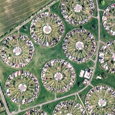
Broendby, Copenhagen
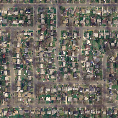
Levittown, New York, U.S.A.
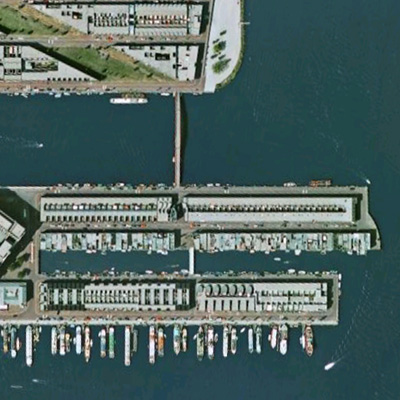
Amsterdam, Netherlands
Celebration, Florida, U.S.A.

Sea Ranch, California, U.S.A.

Venice, Italy

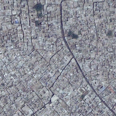
New Delhi, India
Palm Springs, California, U.S.A.

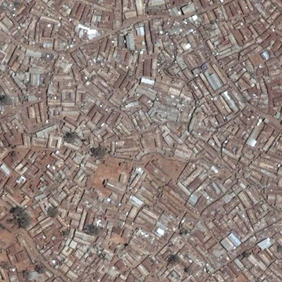
Nairobi (Kibera slum), Kenya
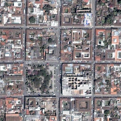
Antigua, Guatemala
Mexico City, Mexico

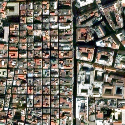
Naples, Italy
Reykjavik, Iceland

Caracas, Venezuela

Casablanca, Morocco

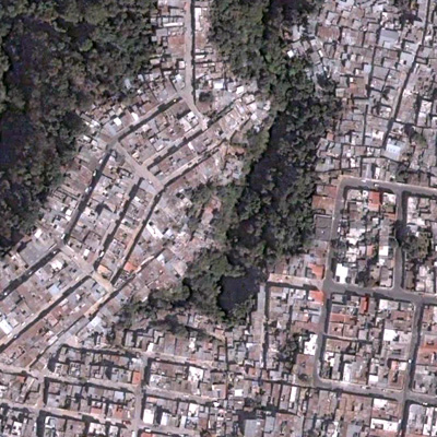
Guatemala City, Guatemala
Los Angeles, California, U.S.A.

Nuuk, Greenland

New York City (West Village), New York, U.S.A.

Las Vegas, Nevada, U.S.A.
